Zunoquad 3“Canoeing the Teslin and Yukon Rivers (4)
Sunday, September 27th, 2009Day 3
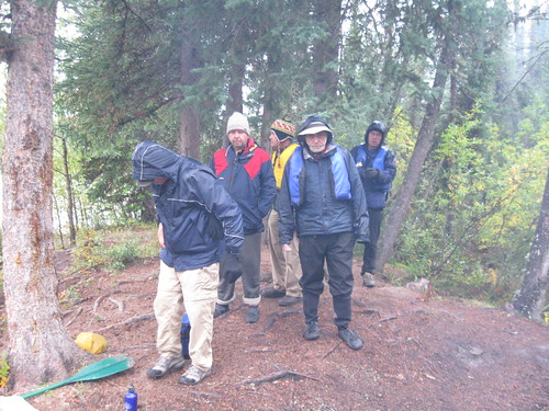
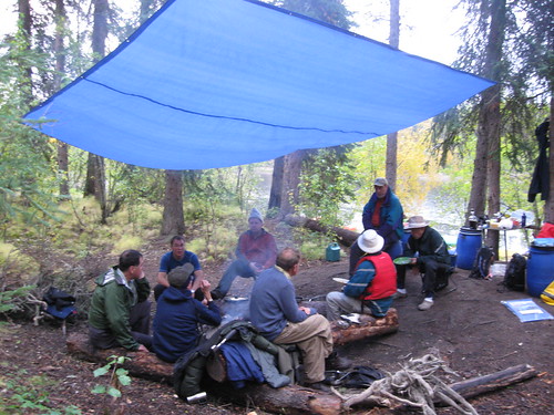
Jobwaddhi made two sensible proclamations at breakfast: we would switch paddling partners and we would begin the day with stretches, a morning ritual that had been observed for at least the last two years’ trips and that would have helped get us through yesterday had it not been abandoned.
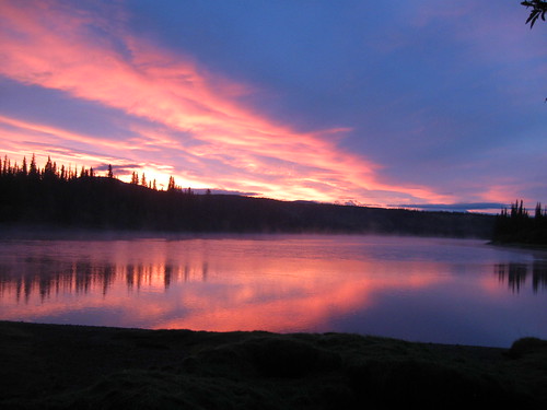
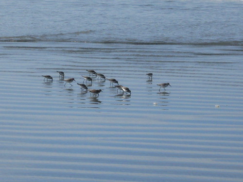
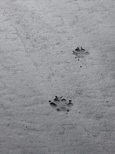
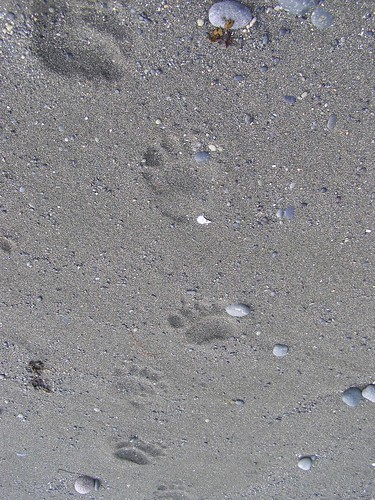
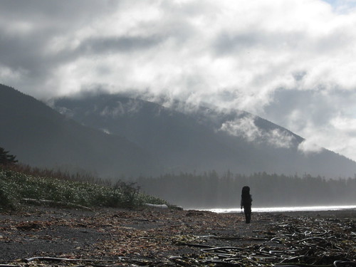
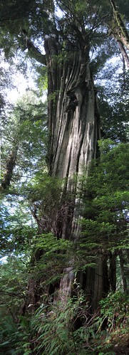
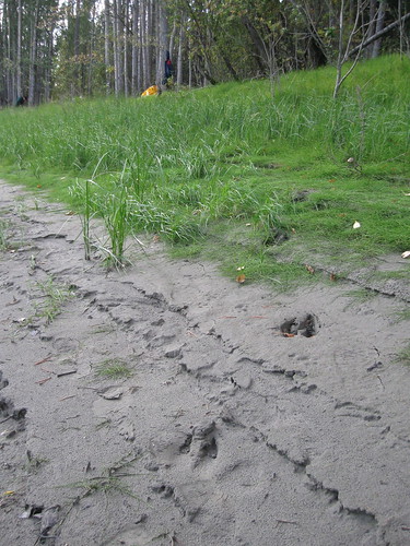
As we packed the gear, a large raven with a fat double chin perching on a snag in the middle of the campsite clicked and croaked with impatience to pick at our leavings Daylight revealed fresh tracks of bear, wolf and moose in the mud, but we were disappointed that no large non-human mammals were sighted any time on the trip. Bald eagles, both mature and juveniles were in plentiful supply, along with the occasional dead salmon lying on the shore or floating in the water, after migrating up from the Bering Sea into which the river emptied 1900 miles downstream near Nome Alaska.
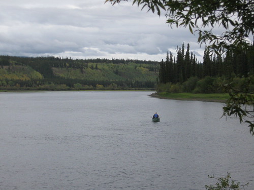
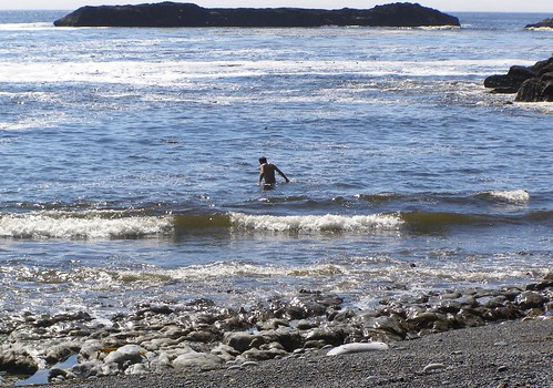
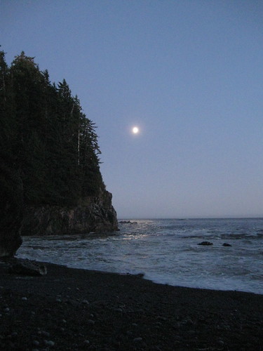
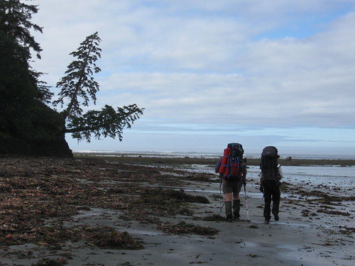
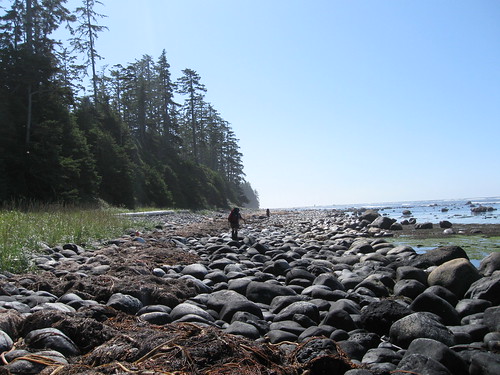
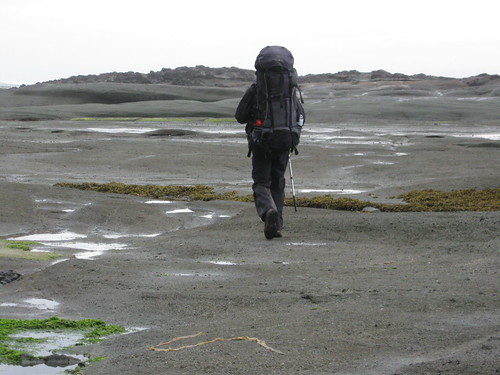
Three days from our departure point and cut off from other human contact, toughened by yesterday’s ordeal, familiarized with the recurrent features of the landscape, spared from rain though still deprived of sunlight, we had gained our riverlegs. The current varied from 3 to 6 km/hr with the exception of some faster water on hairpin turns and in reaches where the contour perceptibly dropped. At times steersmen faced a tricky selection of which channel around an island was least likely to run their canoe aground and threaten to swamp it in the strong flow. As they approached a junction trying to decide, they would often discover that the current had already chosen for them. On one occasion Steven and Ian found themselves making a 360 degree revolution while negotiating a swift section. On another Murray and John became marooned on a gravel bar off of which they had to walk their canoe, but this was as close to mishap that anyone came. Despite his worsening illness, John remained spirited and productive as ever.
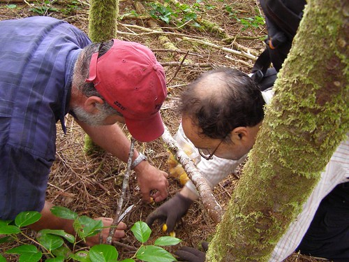
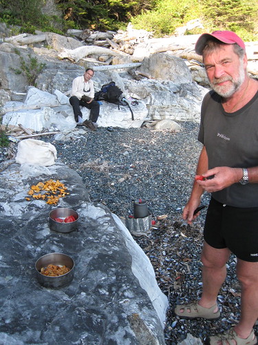
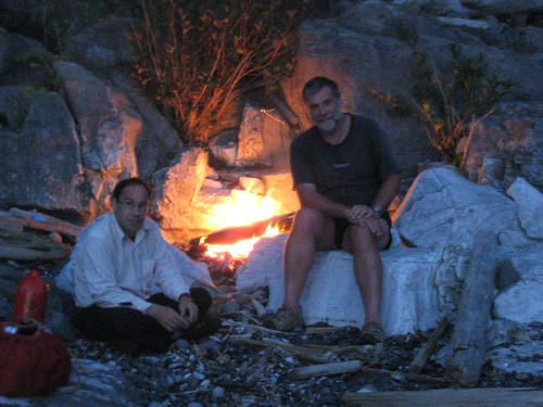
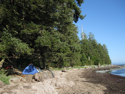
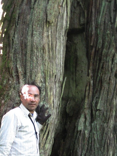
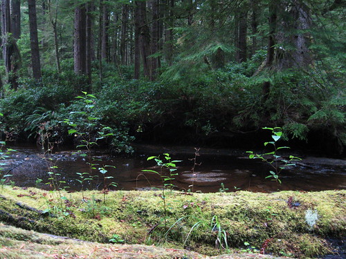
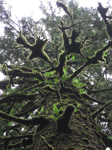
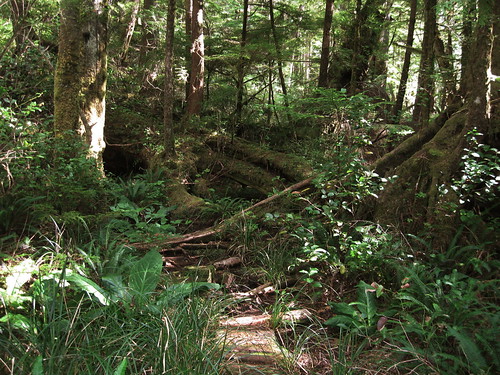
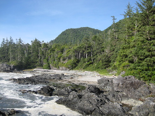
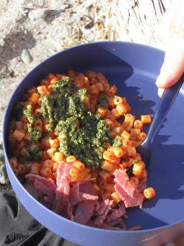
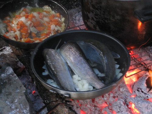
Several hours were spent passing through a burn where this summer’s forest fires rendered the tightly spaced black trunks into a dizzying moire pattern. The destination selected for the day had the alluring name of O’Brien’s Bar, but rather than an Irish pub it referred to an old settlement on a flat section of bank surrounded by a 270 degree turn of the river. With a surge of effort to fight a way out of the current, the canoes pulled up with a couple of hours left of daylight. People followed trails through the mossy forest which led to the ruins of a log cabin and heavy chunks of gold mining machinery manufactured in San Francisco, evidence of prospectors’ hopes and a long defunct paddle-wheeler trade. The catch of the day filled two large frying pans allowing each of us a generous portion.
After dinner Ian and Steven did a tandem reading of Robert Service‘s poem, “The Cremation of Sam McGee,” which takes place “on the marge of Lake Labarge” nearby. Each brought a copy, which wasn’t necessary, since this chestnut seemed to be printed in every tourist information pamphlet and engraved on many plaques on the streets of Whitehorse.
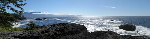
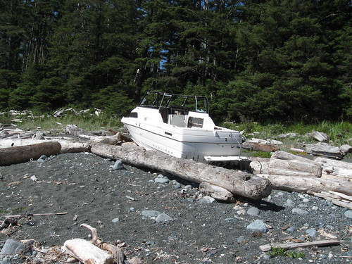
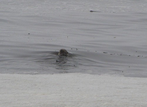
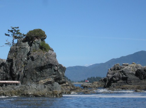
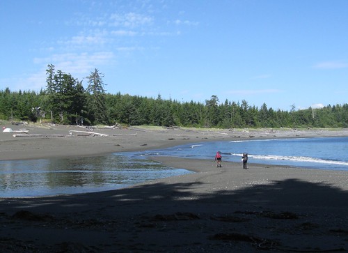
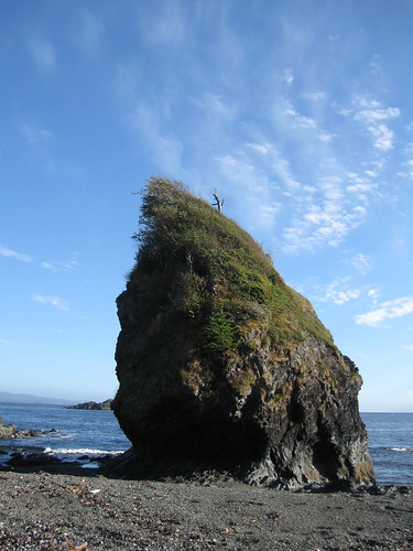
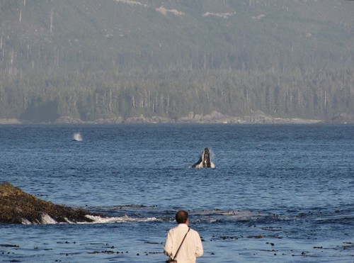
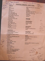
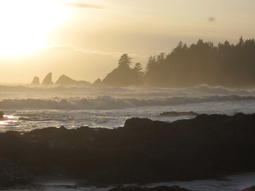
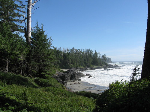
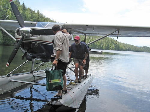
To view a complete set of photos for this trip go here.
To view a slideshow of these photos go here.