The Man Who Walked Through Time
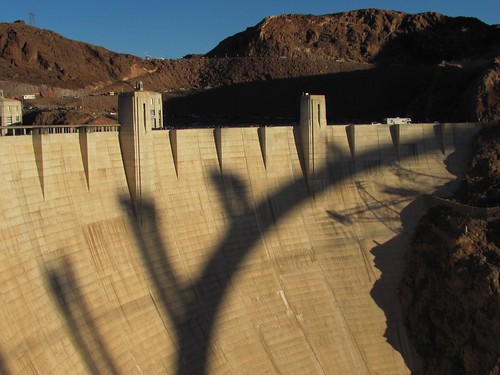
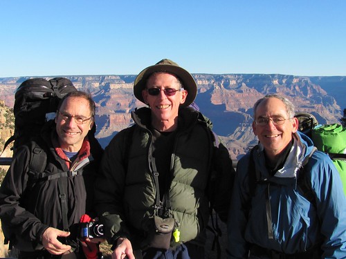
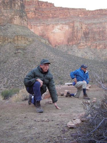
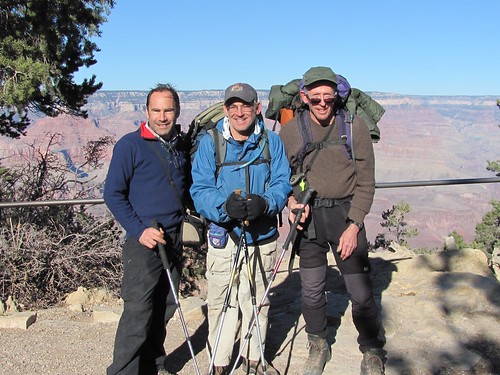
Sunday, November 1st, 2009About a month ago Steve E. phoned and said he was traveling down to California in late November and would I want to join him for a hike in the Grand Canyon. I’d seen the Canyon 44 years ago from the rim on a hot hazy day, surrounded by mobs of tourists, and never had the urge to go back until a recent flight to Idaho via Phoenix, during which the plane went over it at 30000 feet and I got the point. I was also feeling what Andy called Wilderness Withdrawal since returning from the Yukon and only managing to organize one campout–a night on the Sandspit with Chad. So I jumped at the invitation.
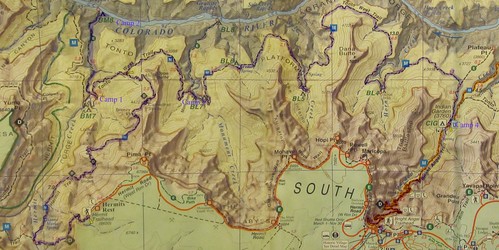
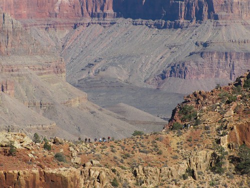
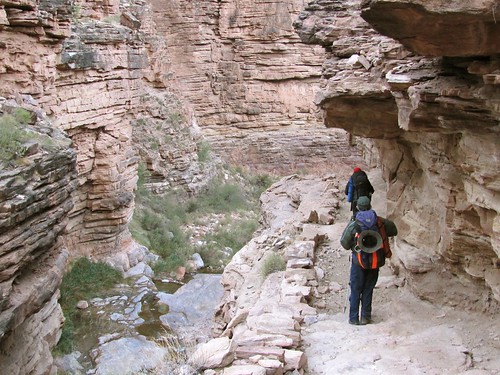
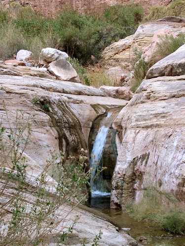
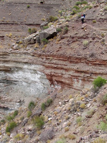
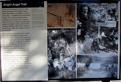
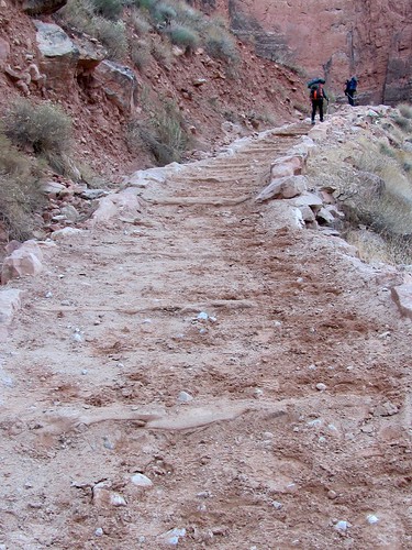
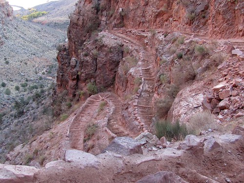
Steve had done preliminary research which indicated that it wouldn’t be easy to get a camping permit even at that time of the year, but since the reservation would have to be sent by mail, I volunteered to negotiate a time and itinerary from here. The central trail which he had hiked 25 years ago and which had guaranteed supplies of water was unavailable, so I looked for alternate routes on the web and collected books from the Cal Poly library. Because no large scale map of the canyon showing all the trails was available, this required learning quite a bit of nomenclature: categories of corridor, threshold, primitive and wilderness trails and names of specific trails and campsites and their designations, itineraries where water was available at least every other day, and a sense of the contours and distances inside the canyon.
Following up possible itineraries led to warnings like these:
Extreme care should be taken if you are using this trail during the winter months under icy conditions as at times your are literally walking on the edge of the gorge and one wrong step could be fatal. Once the trail reaches the head of Travertine Canyon the real fun begins. The descent is clogged with boulders of all sizes ranging from footballs to small houses. Most other guide books that I have read actually recommend this trail. I think that the people who wrote these must be out of their collective minds. You end up taking a lot of chances going down something like this and there are some difficult places where you may have to take off your packs and lower them down with ropes.
And this, coming from an independent authority, was mild compared to the warnings stated by the Park Service:
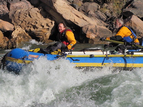
The Boucher challenges even experienced canyon hikers. The trail consists of tough, tedious traverses linked together by knee-destroying descents, with a section of exposed hand and toe climbing thrown in for good measure.
Not an adventure to take on with a partner who has bad knees.
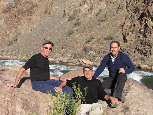
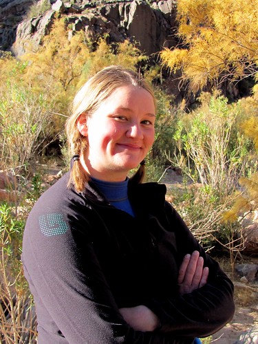
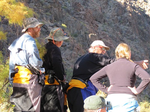
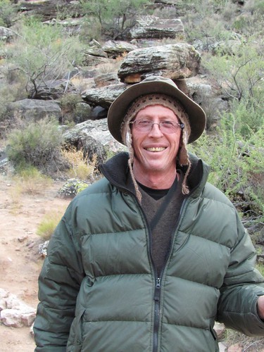
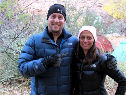
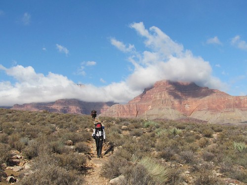
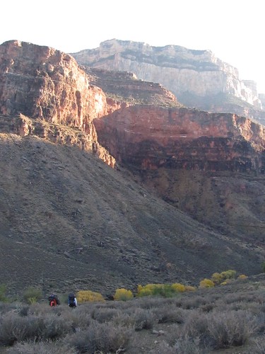
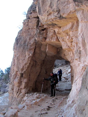
After further immersion in the literature and several amiable conversations with people at the Backcountry Information Center, we were able to come up with what promises to be a reasonable five day loop that wont require the Satellite phone or other unusual backup arrangements. In addition, Peter B. decided to join us, flying into Las Vegas from Vancouver.
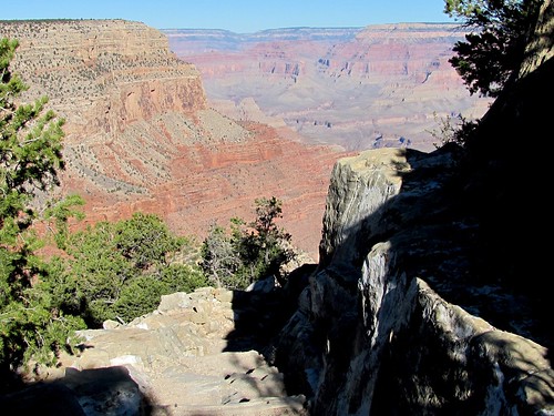
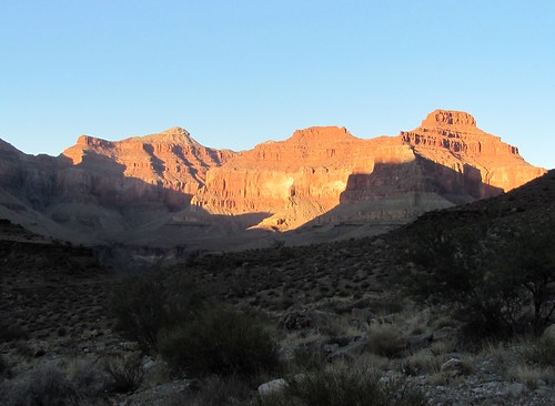
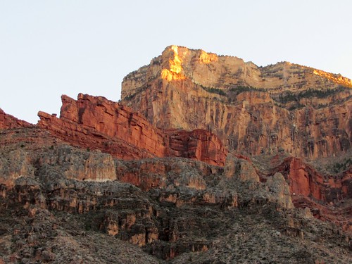
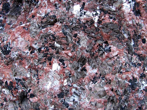
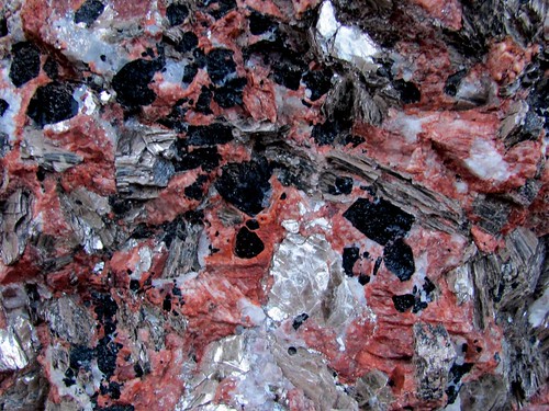
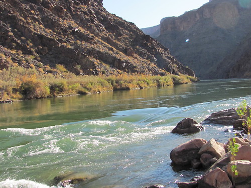
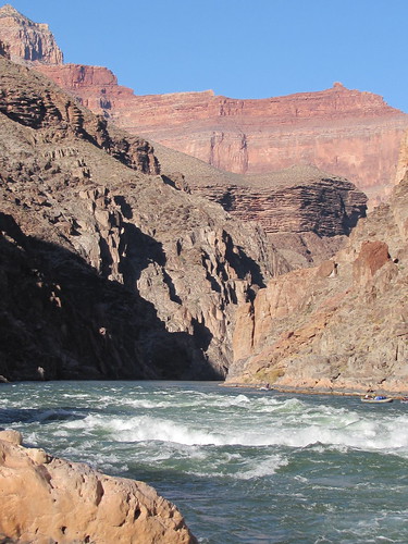
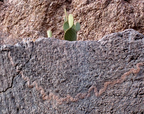
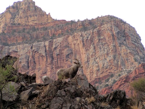
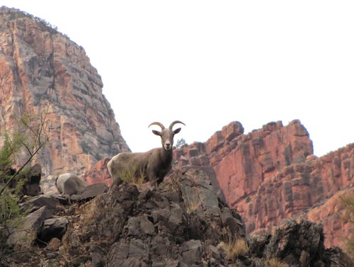
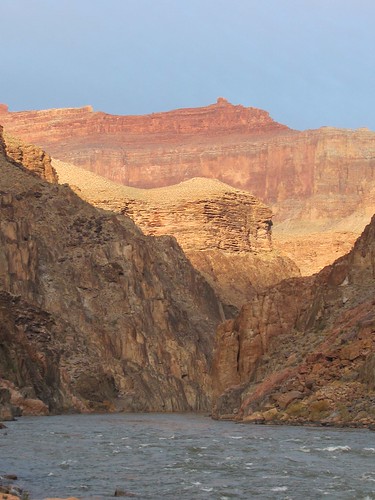
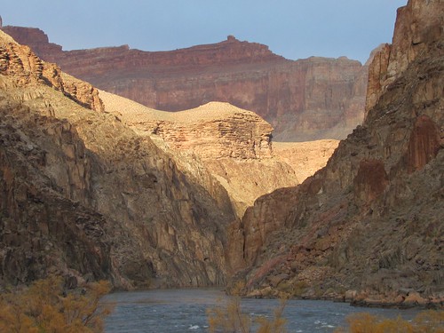
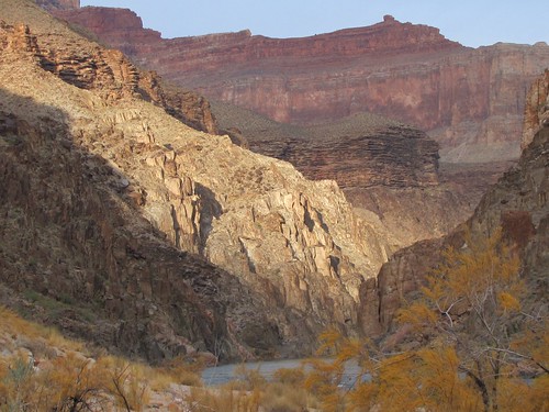
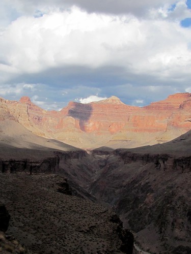
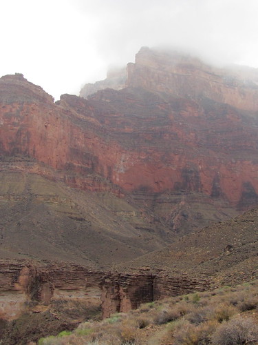
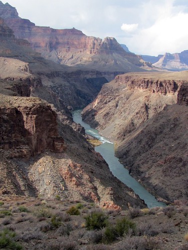
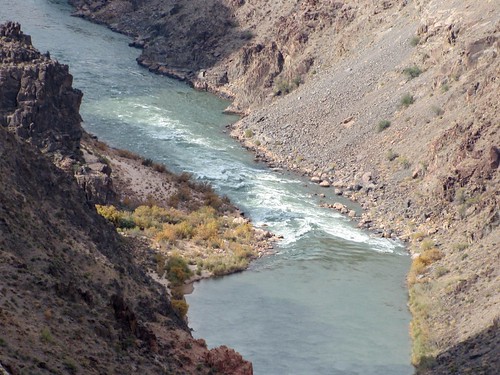
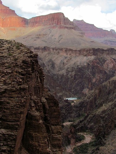
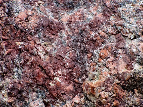
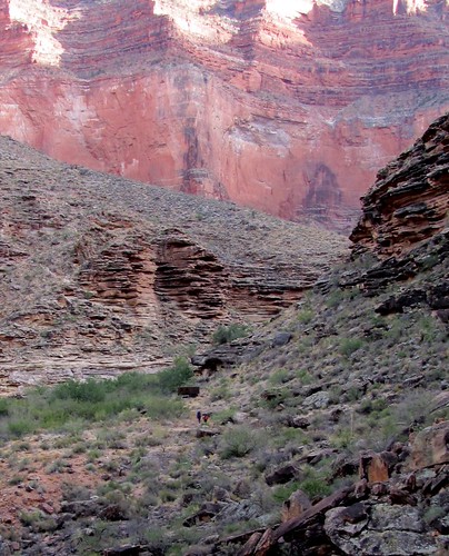
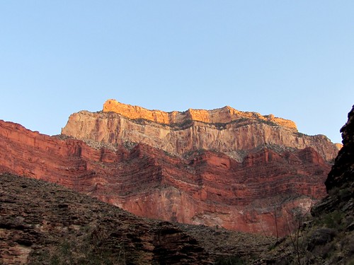
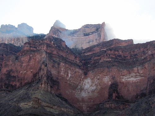
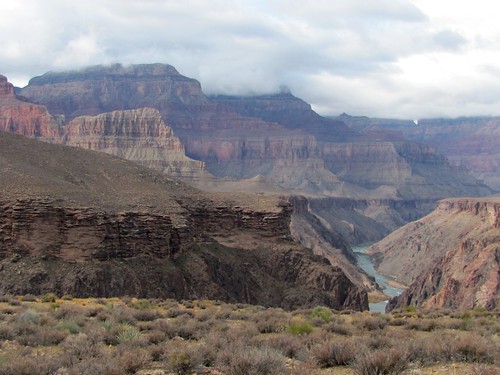
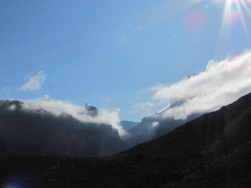
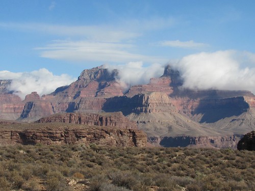
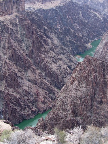
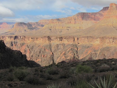
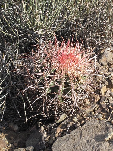
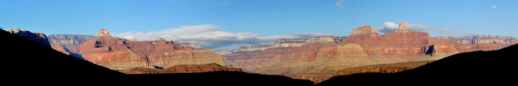
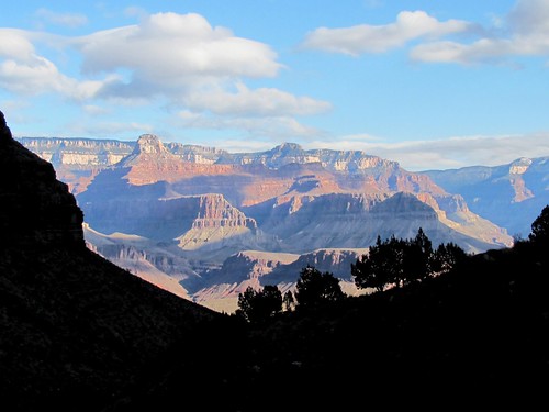
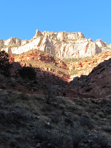
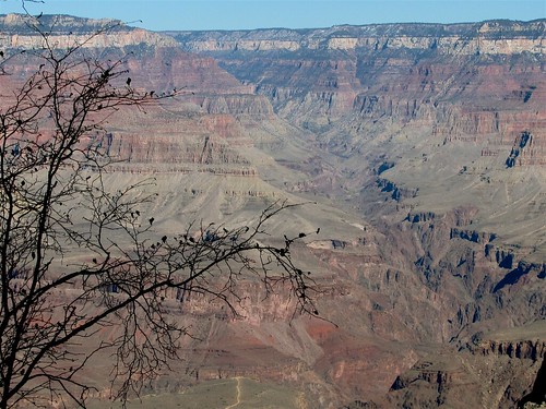
Even with the risks diminished, my imagination remained excited by the prospect of exploring a vast landscape different from any other on earth, a place where nature and recreation converge with metaphysics and myth. I read that although the canyon itself was only 7 million years old, it trenched downward into rocks at the bottom that had been there upwards of two billion years, that the mile-deep descent through layers of strata conducts the hiker back that far on a voyage through time, where the passage of epochs can be followed in the coherent sequence of strata, like the dendrochronology in rings of ancient trees.
This seemed a particularly appealing prospect while I was spending time probing my own past, descending through volumes of journals, trays of slides, albums of photographs, packets of letters, looking for the overall shape and meaning of the story.
A comparable search drives Colin Fletcher, the author of a book written in 1968 entitled The Man Who Walked Through Time. For seventeen years, he planned a solo hike from one end to the other of the two hundred seventeen mile stretch of the Canyon within the National Park. His account is structured as a vision quest, a passage through exertion, fear, deprivation and ambition toward an unmediated experience that puts him in touch with the nature out there beyond the busy preoccupations of his ego and that helps him understand the relationship between his tiny presence in space and time and the vast expanses of both in which it finds itself.