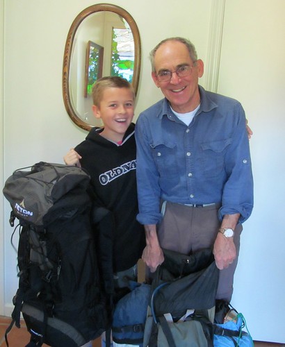
During a late fall afternoon hike up Dairy Creek, Craig said that he’d like me to join him sometime on an excursion in his airplane. Twelve years ago he’d flown me and Sky over Cal Poly to take aerial photos for the Cal Poly Land Field Guide, but I’d never been up since. I relished the possibility of using my limited freedom for a Winter weekend adventure, and when he said he’d never been to the Grand Canyon, a mere three hours by air from San Luis Obispo, I promised to figure out an intinerary and try to reserve a campsite for late January. I was eager to return there after my still vivid experience three years ago.
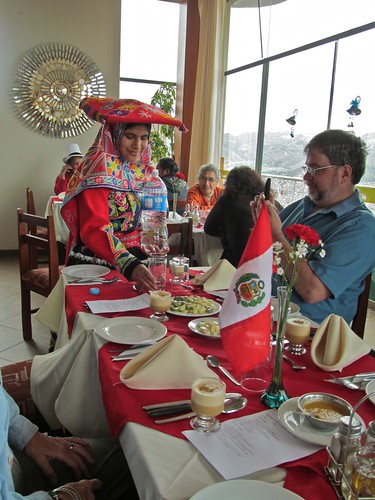
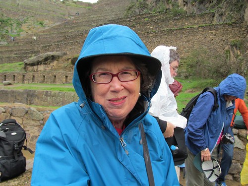
The midwinter weather would be unpredictable, but not too hot, and there were vacancies at the Bright Angel Campsite, which at most times required reservations a year in advance. It would be three weeks after our return from Peru, two weeks after Peter’s visit from Canada, a little extravagant in terms of doing what I felt like, but a healthy assertion of retirement independence, and an opportunity for a real workout that my daily half-mile swimming routine made me crave. I’d been suffering enough lower back pain since returning from Peru to drive me to the chiropracter, who told me it likely resulted from too much sitting–in buses, airliners, and at my computer. I carried a pack full of water up Poly Mountain to see if I’d be capable of the hike, only to find that it made my back feel better.
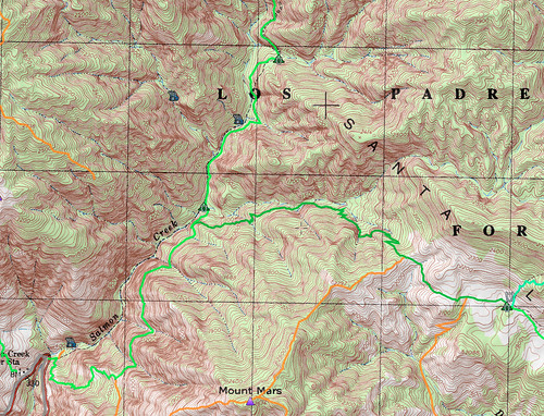
The one obstacle would be weather conditions during our planned four day weekend that could make flying a small plane over the Tehachapis and landing and taking off at the 7000 foot altitude of the South Rim risky. For two weeks we watched the forecast get less promising, even as excitement built at our meetings to plan provisions and equipment. We considered alternate locations–Zion Park, Anza Borrego Desert, Point Reyes–but in the days before departure we settled on leaving the plane on the ground and driving the two hours to Big Sur for some nearby camping. A quick Google search turned up Sykes Hot Springs–ten miles into the Ventana Wilderness, accessible only by trail, something of a challenge, but according to many reports a most rewarding route and destination.
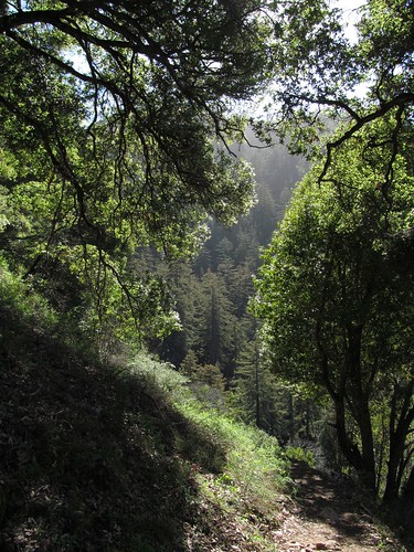
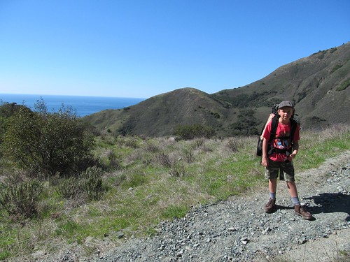
The sky was emerald blue and the Big Sur Highway was empty on the spectacular drive up coast. We stopped for an overpriced lunch at Nepenthe and got to the Trailhead at Pfeiffer State Park around 1 pm. The original plan was to hike in the full ten miles the first day and camp for two days at the destination, perhaps adding another ten miles of day hike to a peak further along, but it soon became evident that we’d be doing well if we reached the halfway point before dark. The first couple of miles made a steep ascent. My huffing and puffing induced Craig to time my pulse in concern about a heart attack, and I left about 12 pounds of unnecessary food and equipment hanging in a bag from a tree limb for retrieval on the way back. Soon afterwards the way leveled out some and fatigue was replaced by exhilaration.
The trail wound eastward following the course of the Big Sur River 700 feet below, the sound of its tumbling water a steady serenade complemented by occasional glimpses of rapids through the near vertical wall of the canyon.
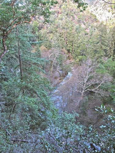
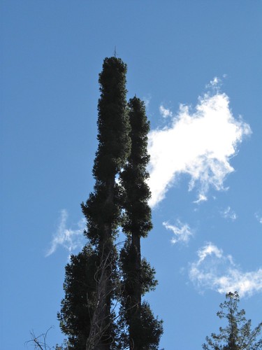
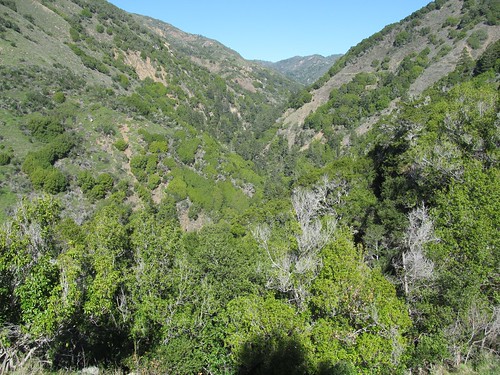
The low winter sun illuminated its opposite wall and the mountains behind it, but we remained in deep shade produced by the north facing ridge we traversed and the canopy of redwoods, which towered high above us though rooted hundreds of feet below.
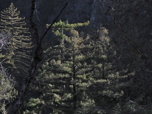
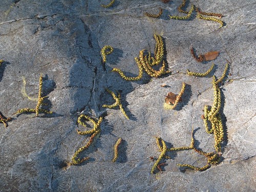
Rather than red, the immense, deeply ridged trunks were coal black, scorched by the fire that had incinerated the chaparral ground cover and killed the smaller trees of the forest just a few years ago.
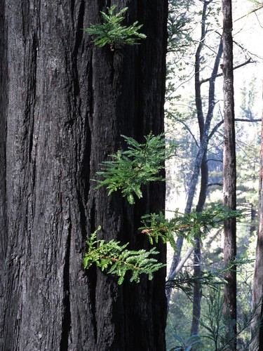
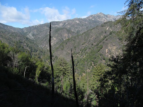
In places where the fire was hottest, most of the big trees perished, but wounded survivors regenerated in distinctive shapes.
I wondered whether this was the same fire that had ravaged the area around Tassajara, the Zen monastery that Jan and I had visited in June two years earlier. With the vigor of the new tree growth, the freshness of trailside grasses and shrubs, and all the creeks and springs flowing, it was hard to imagine the arid combustible atmosphere of this landscape during the summer months. The ruggedness remained in the raw terrain upthrust by subduction of the Pacific Plate and grooved by watercourses bearing off rainfall from the sea. The Forest Service’s well-maintained trail showed evidence of this continual geological activity, often rerouted around recent rockfalls. Without the well worn path, the steepness and irregularity would have rendered passage through this country impossible.
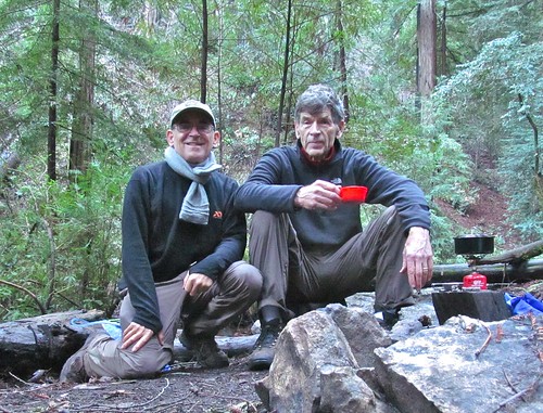
Invigorated by bodily exertion and the excitement of escape, Craig and I kept up a steady stream of conversation informed by common experiences and contrasting perspectives. Seventy year old professional colleagues with little more to prove, blessed with happy marriages, children and grandchildren, at least partially earned financial security and good health, we share an eagerness for adventures during the few upcoming years they’ll still be possible. We talked with admiration of Obama’s Second Inaugural Speech’s and its elevated rhetorical ancestry, of Jerry Brown’s down to earth State of the State speech concluding with the Little Engine that Could, of Spielberg’s Lincoln, Charles Mann’s 1491, my Peru trip, City politics, his engagement in Episcopal Church activities especially caring for the homeless, and my withdrawal from activism. He spoke of his search for models of wisdom and grace among the aged, I spoke of my growing admiration of youth, which was highlighted by every encounter with young hikers along the trail, especially the scantily clothed girls who passed us toting heavy packs.
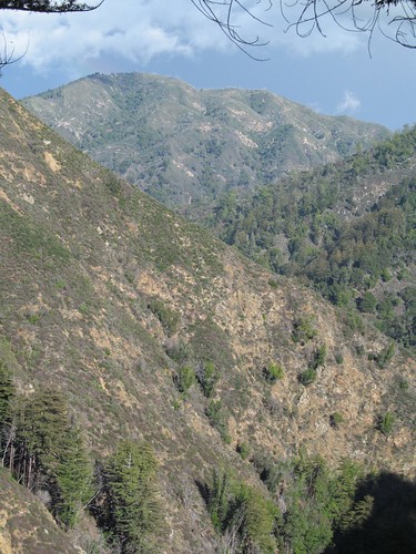
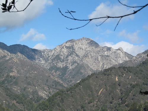
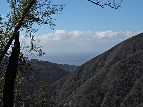
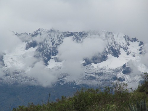
The trail traversed to a ridgeline and made a tight turn southward, following the upstream direction of the river and affording a last view of the majestic summit that topped a major tributary.
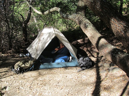
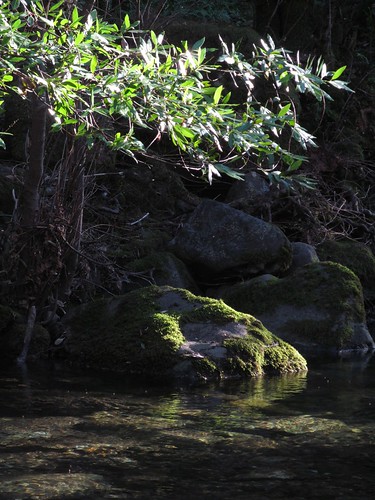
As the shade deepened, the trail descended quickly to a stream flowing through a grove of huge redwoods that escaped the inferno. Only a distant one of several tent sites distributed between the cheerfully burbling water and the great trunks was already occupied.
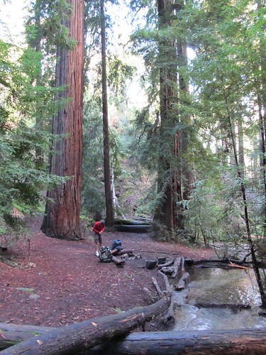

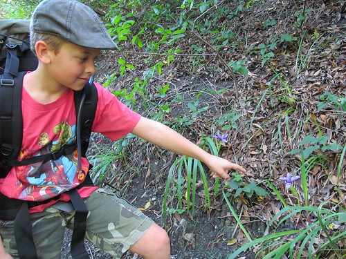
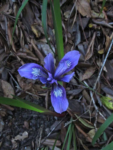
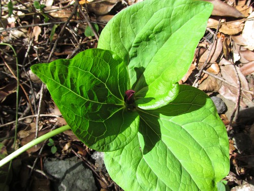
Here in Central California, no fees or reservations, no fire rings or tables, no rangers or regulations, just the wilderness opening itself to our embrace. We rejoiced to lay down our packs and explore the surroundings: a carpet of springy duff, ancient fire hollows big enough to fit a bear or a couple of people at the base of several of the trees, delicate leaves and flowers of sorrel catching patches of sunlight at the bottom of the walls, everything cleaned and freshened by the previous day’s heavy rains.

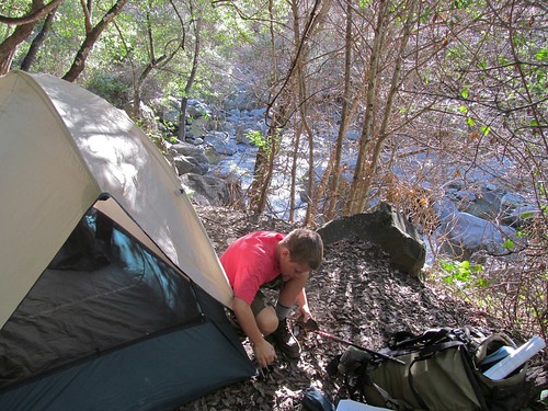
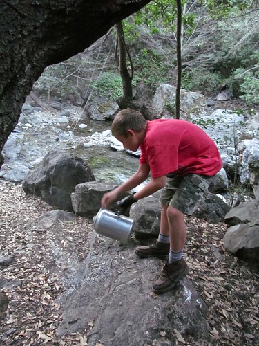
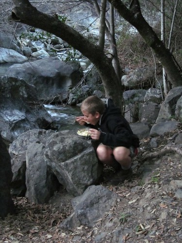
The intense use of this campsite became evident when I was unable to find a shred of dry tinder to ignite a fire and the little magnesium fire starter I’d bought at Big 5 didnt work. While Craig set up the tent and pumped water through his purifier, I cooked up a quick dinner of Couscous, Indian Lentils and Eggplant Curry from Trader Joe on his little butane stove and set some dried fruit soaking for compote in the morning.
As the rising moon painted white blotches on the tree trunks, we sipped Irish whiskey and nibbled dark chocolate before turning in, each of us equipped with a pee bottle inside our sleeping bags to supplement limited-capacity bladders.
After a lengthy sleep interrupted only by the headlamps and murmurs of late arrivals looking for tent sites, I awakened to birdsong, less achy than in bed at home. We drank several pots of cowboy coffee, ate scrambled eggs and salami, packed up our gear and got back on the trail.
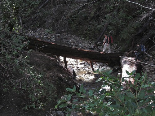
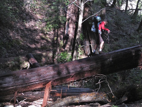
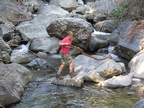
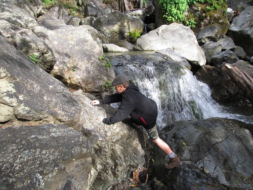
Winding around the shoulders of narrow ridges, it generally maintained altitude as it veered away from the river below and then abruptly dropped to another fast flowing tributary too extensive to cross by stepping stones.
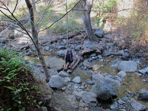
A large redwood log that had accidentally fallen across the stream at an interesting angle facilitated the crossing, but we let more some more nimble hikers precede us before tackling the challenge.
As the morning wore on, we were passed by numerous young folk heading for the Springs, some of whom had hiked in the dark, others who went at the speed we had originally anticipated maintaining ourselves. One couple carrying only day packs, were accompanied by an energetic black lab loaded with heavy-looking saddle bags.
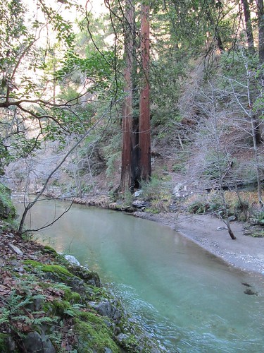
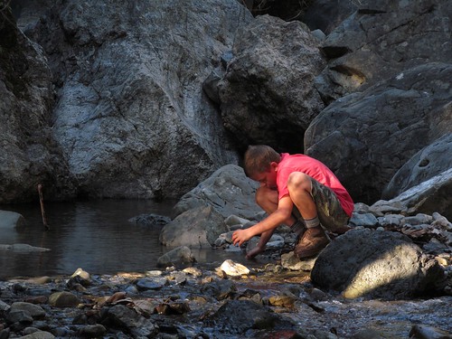
After rounding one more ridgeline, the trail returned to following the course of the Big Sur River below, and by 1:30 in the afternoon, we descended to its rocky banks.
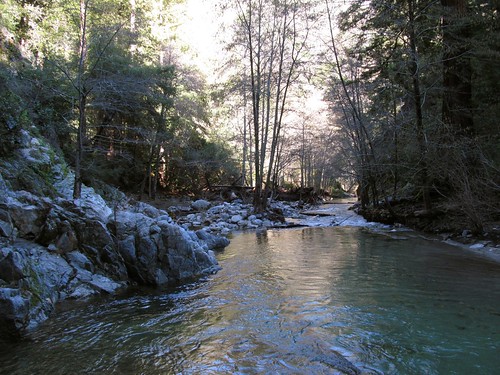
The smooth fast water was crystal clear and the trees’ reflection rendered the bottom in shades of turquoise and taupe.
But where were the promised warm pools that would heal those now aching hip, knee and ankle joints and put me in contact with earth’s chthonic forces? Craig shouted questions to some long haired boys on the opposite bank and got no clear answer. Other young couples approaching this trail’s end from the opposite direction told us they could be found downstream beyond a steep rocky bank, hard to miss because they were full of unclothed bodies. This seemed to dampen Craig’s interest–he said he was looking for solitude and peace not naked partiers–but it piqued mine. We clambered over the cliff face and found a large campsite on a flat spot ten feet above a hairpin turn in the river, like the previous night’s graced with ancient redwoods but blighted around its edges by hiker-abandoned trash–old socks and underwear, a ragged tent, empty wine bottles.
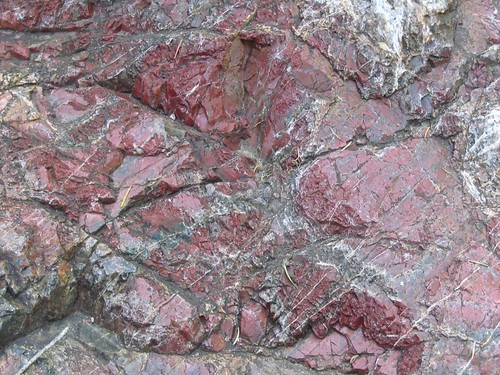
Craig said he’d stay there and set up camp. I left my pack and walked around the point along the river whose opposite bank was dotted with tents and campfires. Both apprehensive and enticed, I followed an informal trail over an outcrop carved by another twist in the river and found myself suddenly in sunshine, on a terrace beside a glittering pool created by a wall of bagged stones which dammed the flow of warm water coursing down a multicolored rockface canopied by the rootball of a fallen tree.

photo credit: brianwiese.com
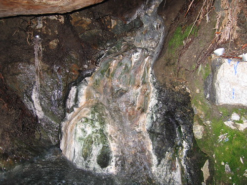
photo credit: brianwiese.com
Submerged in the pool sat the curly headed young man who had passed us with the dog, smiling and holding a joint. He offered me a toke, and I was transported back 46 years to another Big Sur camping trip with a girl I had recently met at the time. We’d hidden my motor scooter along the highway and clambered down to an idyllic spot by the Little Sur River, which soon filled up with young people from all over the country eager to share food, drink, stories and music. As I inhaled the slight odor of sulfur and piled my boots and clothes next to the pool, he said, “Do you mind if I ask how old you are?” and when I told him, he answered, not “I dont believe it,” but a little disappointingly, “I hope I can be in your shape at that age.”
The hundred degree water felt extraordinarily pleasant seeping into my limbs. The floor of the pool, part clean sand, part knobbly rock, sharpened the massaging sensation on my sore sacrum. On the river bank, 50 feet below, I heard yelps of delight and glimpsed flashes of sun-drenched flesh.
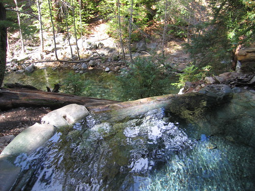
photo credit: brianwiese.com
I lay back silently savoring the moment. After those glorious nine days in Peru with Jan, after that marvelous four day visit with Peter, after the great time on the trail with Craig, how could fate continue to regale me with more pleasures?
Suddenly there was a bustle of activity on the approach to the pool and four laughing twenty-somethings clambered over the log, one of them insisting that they needed to start the ten mile trek back to civilization very soon. Another asked if it was alright if they joined us in the pool, there seemed to be room. There was no objection as the two women, one a pale redhead, the other a dark brunette, disrobed and lowered themselves into the water. They were followed by their boyfriends, a wiry bearded longhair and a thoughtful babyfaced fellow. We all introduced ourselves by first names and they passed around a couple of cans of beer cooled in the stream–a refreshing way to hydrate in the hot spring. After an interval of oohs and aahs, conversation picked up–tales of visiting other hot springs, bears in campsites, alien invasion fantasies, local geological and botanical lore. The curly haired man was a master’s candidate in geology, the brunette a recent Santa Cruz graduate in Environmental Science and Art History who was interested to hear that I had taught English and Environmental Studies, the longhair a builder of cob houses and other unconventional structures, the redhead and her mate still in school.
We circulated locations in the pool so that everyone could experience the variety of pleasures in different positions: regarding faces and upper bodies reclined against the multicolored cascade or leaning against the mossy flow of the spring, feeling the shower of warm drops from the canopy softly wetting one’s hair while gazing at the radiant tree branches across the canyon. The red haired girl with elaborate tatoos covering one shoulder lifted her snow white hands out of the water and moved her slender fingers in slow graceful gestures. I felt at ease enough to blurt out what crossed my mind: “you look like a Hindu goddess in a grotto doing a mudra dance.” She laughed and replied, “I was just trying to stop my hands from wrinkling like prunes.”
Around 4:00 p.m., as the shadows crawled up the opposite bank, the two couples finally agreed that they must get on the trail for the hike back to their cars. They were looking forward to doing most of it by the light of the full moon. It was time for me to let Craig know where I was and get a fire going with wet wood. As we all pulled on our clothes, a new crop of people came over the log and entered the water, most with swimsuits, but one lone young woman in the buff.
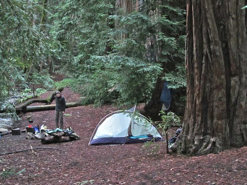
When I returned to the campsite, Craig was pumping water at the river.
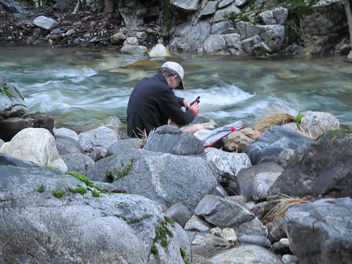
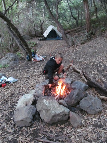
He had gathered wood and pitched the tent. It took almost an hour, a huge amount of breath and several handfuls of toilet paper to make a steady blaze. We cooked quinoa, sundried tomatoes and mushrooms with hotsauce, emptied the half-pint flask, and went to sleep. I woke up at my usual 5:30 a.m., rekindled the still warm ashes in the dark and made more coffee. We were packed and on the trail back just as it got light enough to put away our headlamps.
The way back, twice as long as each day’s outward hike, though lacking in suspense, allowed for more appreciation of features of the landscape–the alignment of the river and tributaries, the arrangement of the big trees in side canyons, the movement of the sun.
The conversations got lengthier and more thoughtful, detailing on both sides stories of early mistakes, lucky rescues, unresolved regrets. And though the lightened packs and accumulated conditioning made us feel stronger than on the way out, the afternoon sight of the sea just beyond the start of the trail was a welcome invitation to our return home.

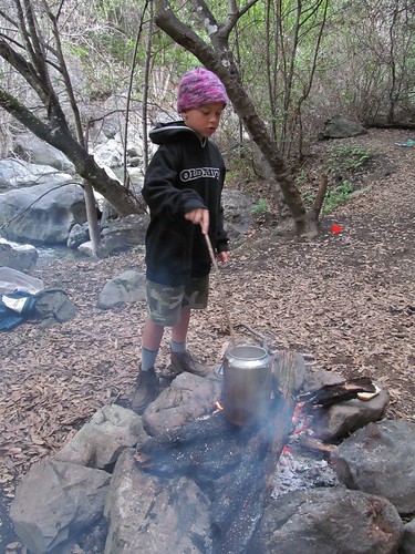
 After the sun passed below the canyon’s wall and our little island of light was engulfed in shadow, Ian built a layered pyramid around a sheet of crumpled newspaper–tinder first, then pencil sized twigs, then thicker sticks”and lit the fire with a single match. He nursed it with bellows breath and fed it with fuel wood until the sparks crackled and the bed of coals was hot enough to ignite the thick wet logs we’d dragged from a distance out of the forest.
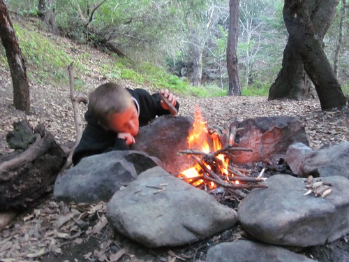
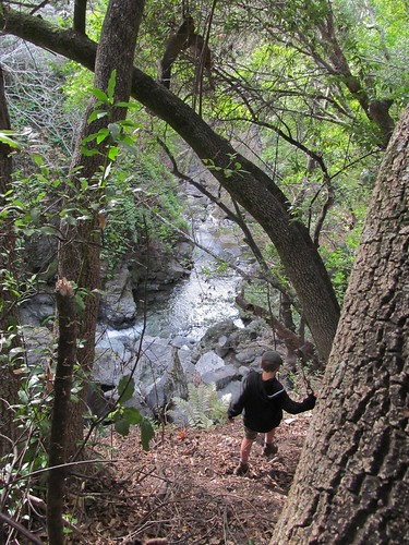
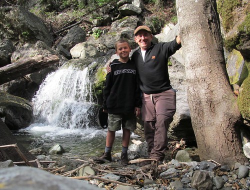
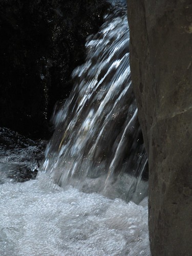
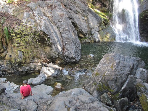
 Just before reaching the car, we followed a spur leading to an impressive waterfall that compensated for the failure to reach the one upstream. It was topped by a loose boulder that looked like a teetering meteorite.
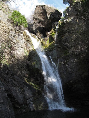


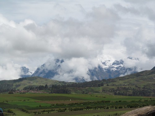
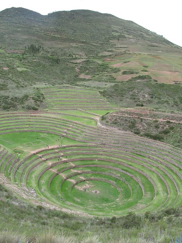
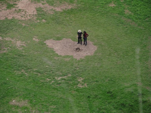
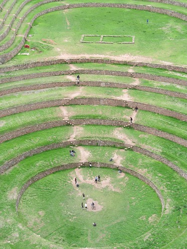


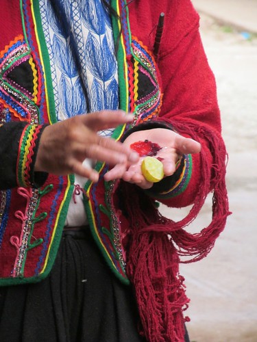


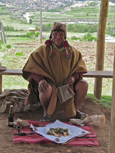
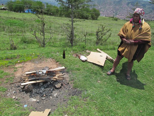
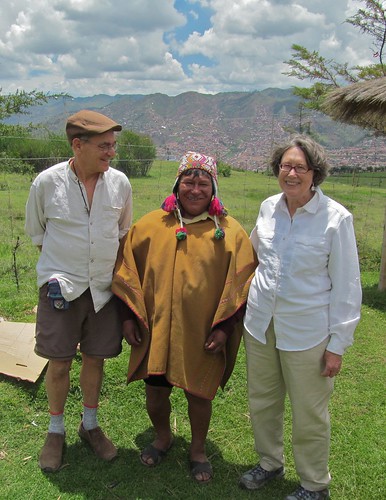
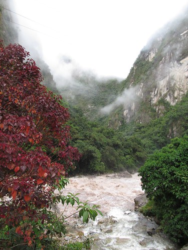
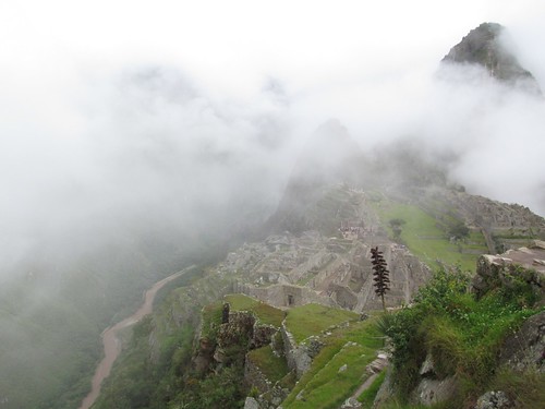
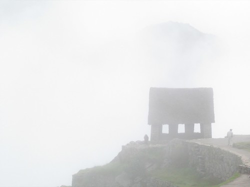
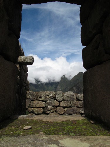
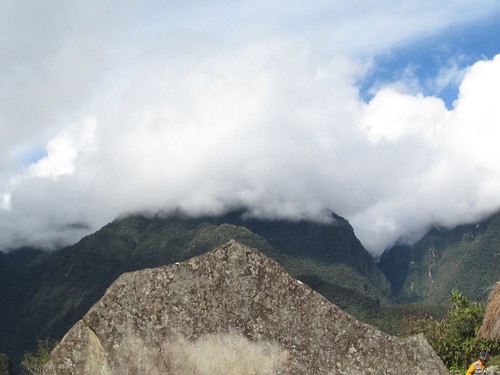
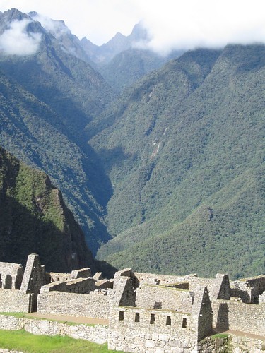
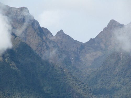
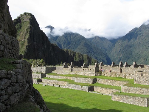
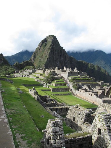
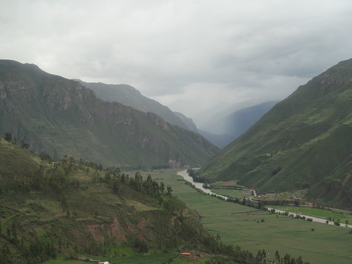
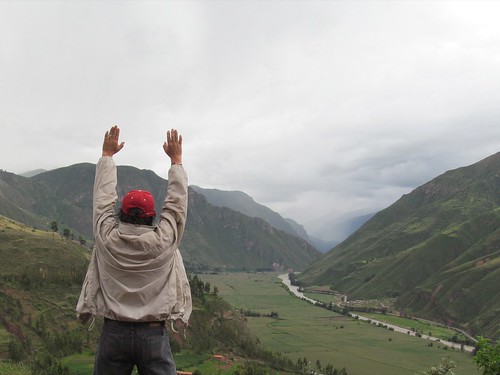
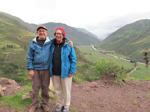
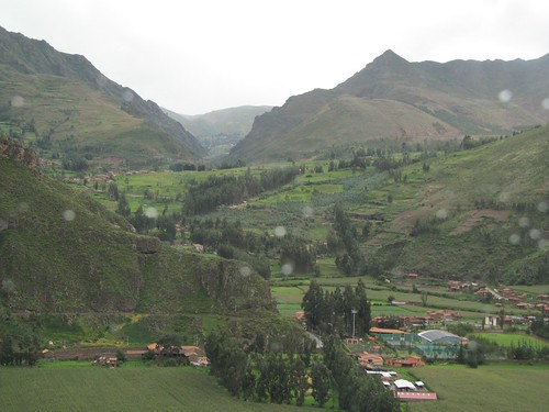
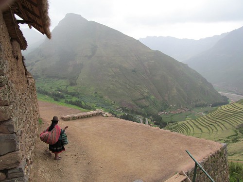
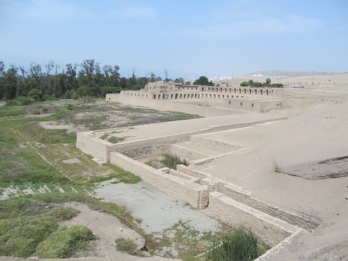
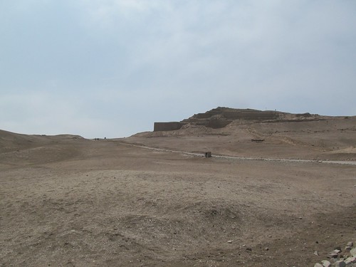
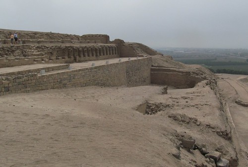
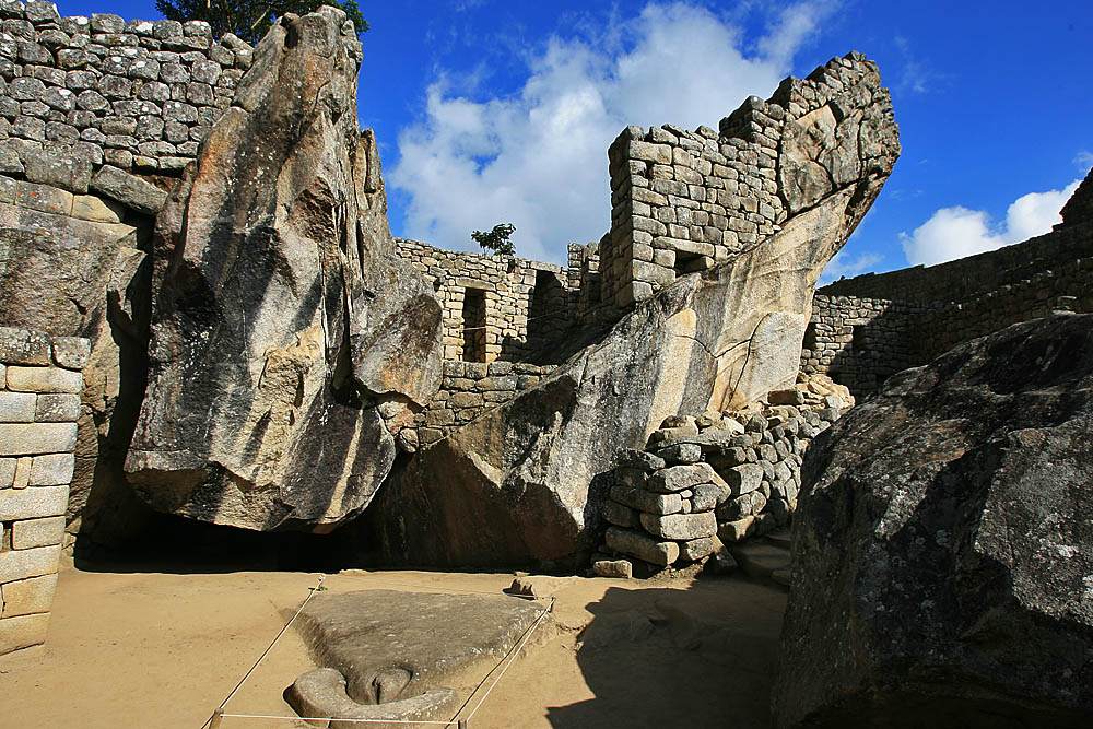
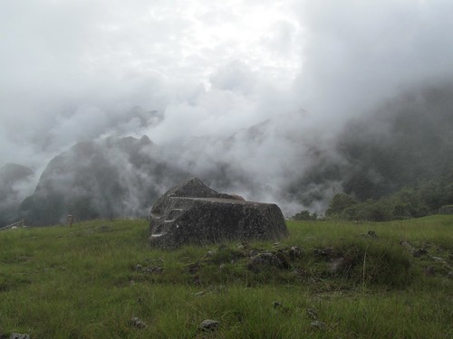 It seems like the renting of a veil, the parting of a curtain, the revelation of divine nature, Pachamama’s gift.
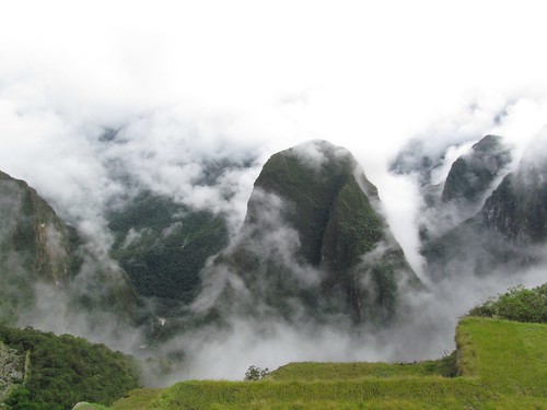


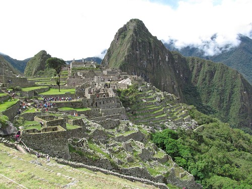
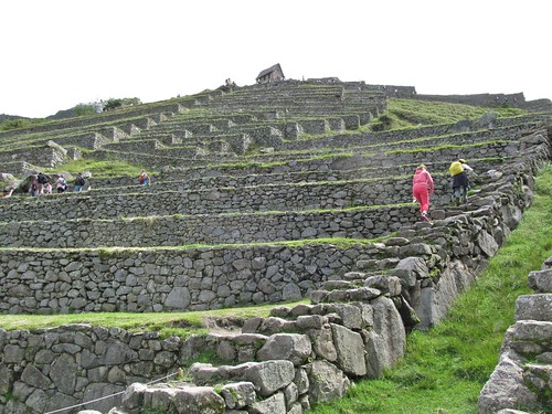

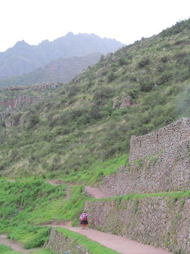
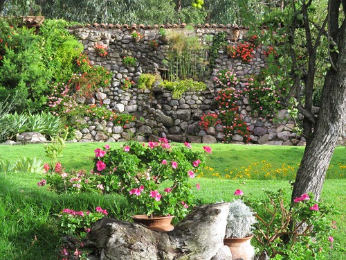
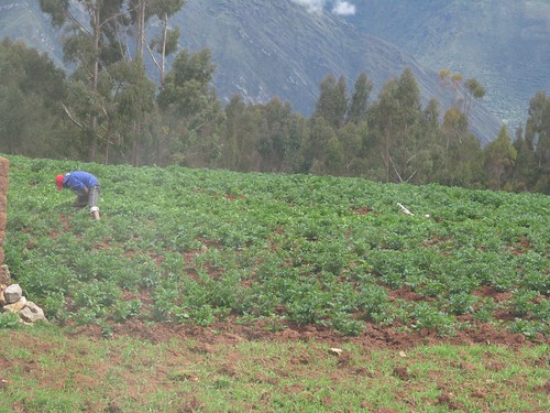
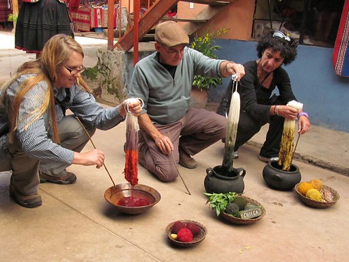
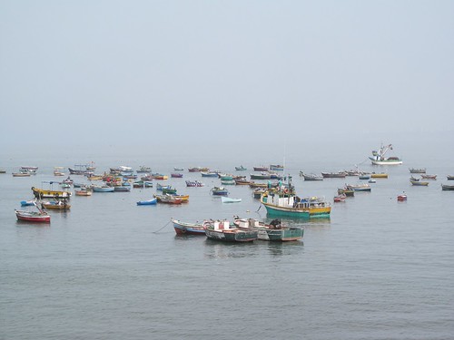
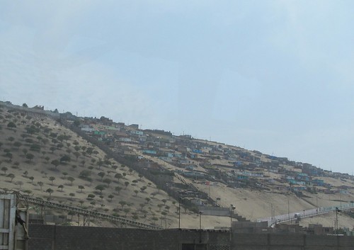
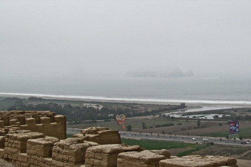
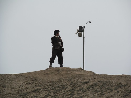
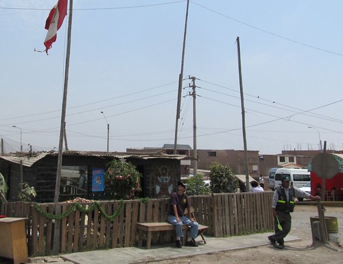
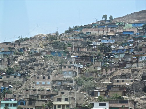
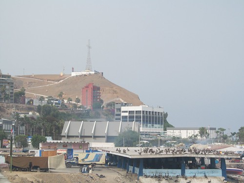 Fishing is a major industry because of the upwelling of the cold Humboldt current just off the coast. A hearty stranger approaches and hails us.
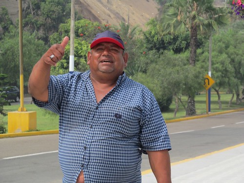
 2840
2840
